
Trips
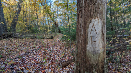
Allegheny Front Trail Thru Hike - October 2023
The Allegheny Front Trail is a 41.5 mile loop located in Central Pennsylvania near the town of Snow Shoe. The majority of the trail is in the Moshannon State Forest...
Allegheny Front Trail Thru Hike - October 2023
The Allegheny Front Trail is a 41.5 mile loop located in Central Pennsylvania near the town of Snow Shoe. The majority of the trail is in the Moshannon State Forest...
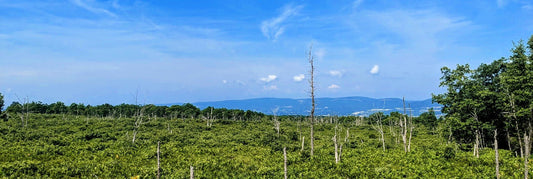
Moosic Mountain - Dick and Nancy Eales Preserve
This preserve goes by a few names, officially it is known as The Nature Conservancy's Dick and Nancy Eales Preserve at Moosic Mountain. It usually goes by Eales Preserve or...
Moosic Mountain - Dick and Nancy Eales Preserve
This preserve goes by a few names, officially it is known as The Nature Conservancy's Dick and Nancy Eales Preserve at Moosic Mountain. It usually goes by Eales Preserve or...
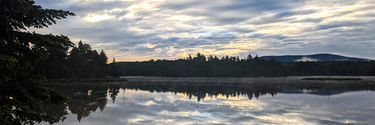
Stratton Mountain and Lye Brook Wilderness
About a 4 hour drive from where I live is the southern portion of the Green Mountain National Forest, more than 400,000 acres of of forests, mountains, streams and wilderness....
Stratton Mountain and Lye Brook Wilderness
About a 4 hour drive from where I live is the southern portion of the Green Mountain National Forest, more than 400,000 acres of of forests, mountains, streams and wilderness....
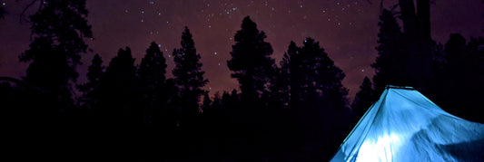
Backpacking: Solo on the Arizona Trail - Passag...
For the past few years I've done a Christmas Eve Backpacking trip, and since I was in Arizona for Christmas I decided to do a solo overnight backpacking trip on...
Backpacking: Solo on the Arizona Trail - Passag...
For the past few years I've done a Christmas Eve Backpacking trip, and since I was in Arizona for Christmas I decided to do a solo overnight backpacking trip on...
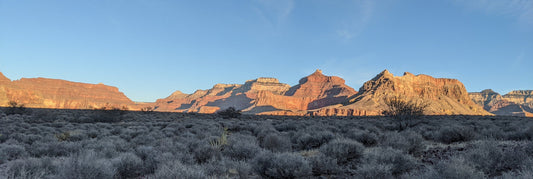
Grand Canyon - 3 Day Solo Trip to the Bottom
The Grand Canyon is a place I've wanted to go ever since I was a child watching Wile E. Coyote chase the roadrunner around the desert. I got to spend a...
Grand Canyon - 3 Day Solo Trip to the Bottom
The Grand Canyon is a place I've wanted to go ever since I was a child watching Wile E. Coyote chase the roadrunner around the desert. I got to spend a...
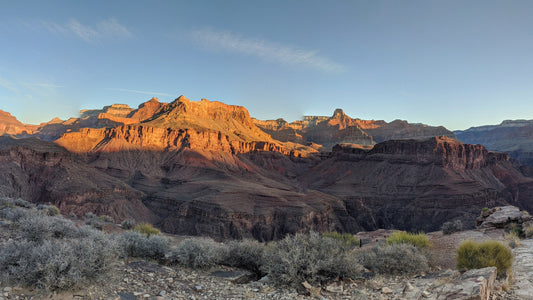
Southwest Adventure Series
What an adventure I had out in Arizona! I was lucky enough to spend 1 month in and around Grand Canyon National Park. I documented the trip the best I...
Southwest Adventure Series
What an adventure I had out in Arizona! I was lucky enough to spend 1 month in and around Grand Canyon National Park. I documented the trip the best I...